Sør Gjæslingan to Rørvik

Paddling into Storøya Island for a morning break (4nm marker)
The 5:00am start was much better rewarded this morning. The low winds, broken clouds and sufficient sunlight to make a go at some photographs made it all worthwhile.
The calmer weather also allowed me to put the drone much further out to sea, so that we could get a perspective of Sør Gjæslingan, looking back north-west towards Rørvik in the distance (the pano, which is the 5th image below).


The previous day, I had met with Eva Lara Lohrengel, the island’s tømrerlærling (apprentice carpenter). We arranged for me to call in to her workshop in the morning, before breakfast.
It was an absolute pleasure to spend time with Eva and to be able to take and share some portraits with her. I was so impressed by her attitude and I am full of admiration in her path as an apprentice carpenter. Her pride & joy for how she is shaping her approach and workshop on the island shone through. A real credit to the Kystmuseet Rørvik and the wider team.

Eva Lara Lohrengel, Tømrerlærling
After a hearty breakfast, everyone set about organising food & gear for the return paddle. First order of business was to clear and clean the fisherman’s hut and the Nakktun dining hall.
Again, Stefan led the detailed briefing and we were all set for a 10:00am ETD for being on the water. This was anticipated as a 12.5nm / 25km paddle, estimated to take around six hours. The weather conditions were ideal, with a following light wind and low swell.


On the water in good time, our last view of Sør Gjæslingan, was as we gathered at the south lantern at Heimværet. With a packed two days so far, everyone was keen to make a start on the day’s trip.

Twenty paddlers ready for the off!
Steady paddling from the start – we were definitely getting a helpful lift from the following wind. Apart from a couple of open crossings, we were also getting plenty of shelter from the swell, with the protection of the many islands.
Passing the beacon on the south-western end of Kjeholmen at the 3.25nm marker, Stefen determined a suitable landing spot on Storøya a short distance further.


Any opportunity to get out of the kayak, stretch the legs and refuel is welcome. Having stocked up on Sør Gjæslingan, there was plenty of food to go around. At this stage we were at the 4nm marker and approximately a third of the way along the route.
On the shoreline, the sea was slowly reclaiming an abandoned bua.

Refuelling and having the craic on on Storøya


Pushing onwards, we continued to paddle up to the 7nm marker and pulled up for a more substantial lunch. We had a stunning coral beach on Ånholman island, which was just beautiful.

Beautiful coral beach in-between the two halves of Ånholman island
One aspect that the Norwegian Crew do really well is camp craft. As soon as the kayaks land on the shore, the Norwegians are out and pulling gear from hatches that is much more mindful that we tend to do in Ireland.
In particular the Jervenduken – an incredibly flexible “blanket”, which can be used in multiple ways including a windbreak, tarp, sleeping bag or even a tent. working with its many zips, you can easily use the blanket as a poncho and keep your arms and legs free, helping to keep you dry and warm even in the harshest weather conditions.
But their approach is broader than just the Jervenduken. Get bulky gear off; get a dry hat on; get covered; get the Jetboil on and hot food and drink into you. It looks effortless, bordering on automatic, but very efficient.


With lunch done and over half way there, it was time to push off and make the final strike towards Rørvik.
Stefan and the Team did a great job of the navigation and keeping a large group of 20 kayakers together. The profiles of most islands were relatively flat. Stefan highlighted that he tends to use a topographical map, rather than a nautical/marine chart. This is because the topographical map includes island elevations, which makes it much easier to identification islands along the route for navigation.
The weather conditions varied during the afterrnoon. The wind dropped even further, and we did get some rain at times. However, as we approached the fjord, leading to our destination, we were on a flood tide and getting a bit of a lift from that.
Spirits were very high as we reached the camp site near Rørvik. 12.65nm covered over the water – with 20 kayakers OUT and 20 kayakers IN, that was a very successful paddle.


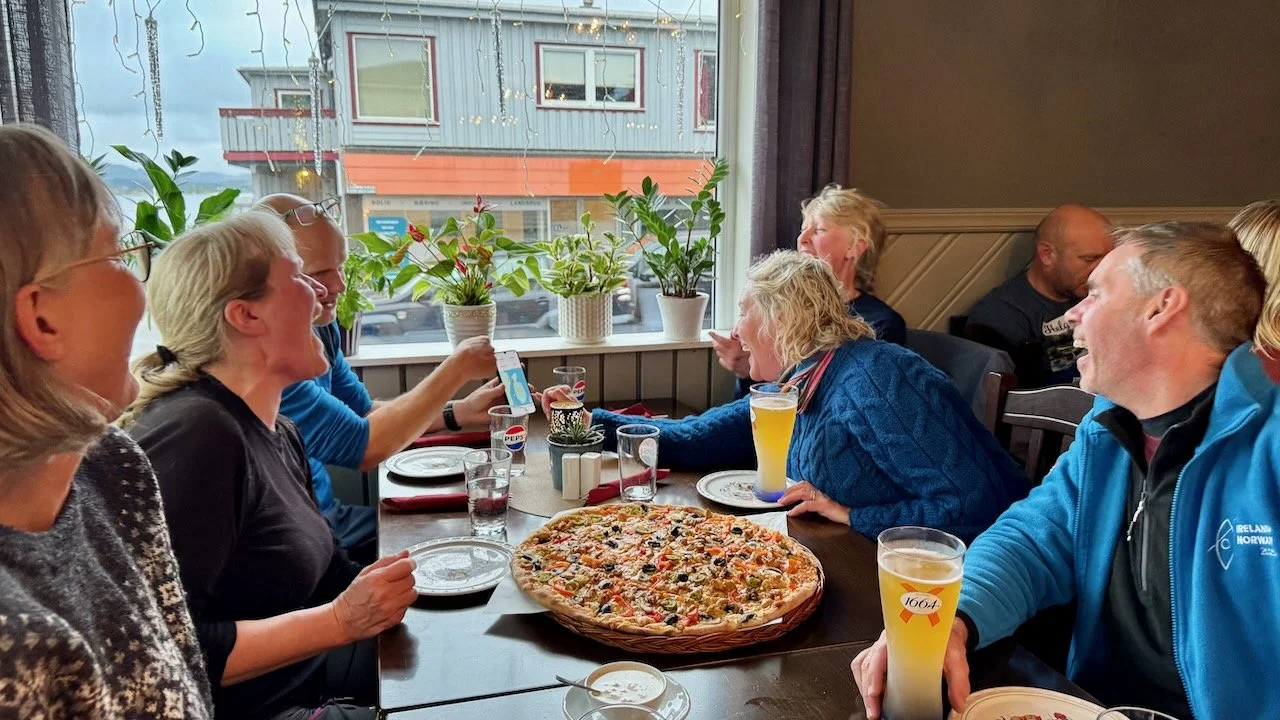
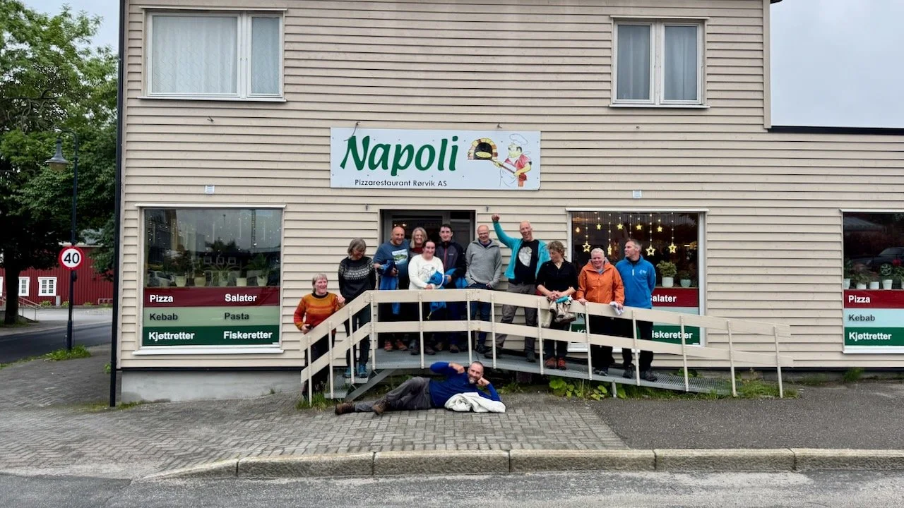
Gear washed & packed away and kayaks loaded. Order of the day was now: FOOD!
As a complete estimate, we passed closely to over 50 islands along our 12.65nm paddle.
Some of the island landscape on our route had a “West Cork” vibe, if you squinted your eyes and looked at just a slice of the landscape. However, when you stepped back, the landscape was massive – the best of the best, on steroids.